
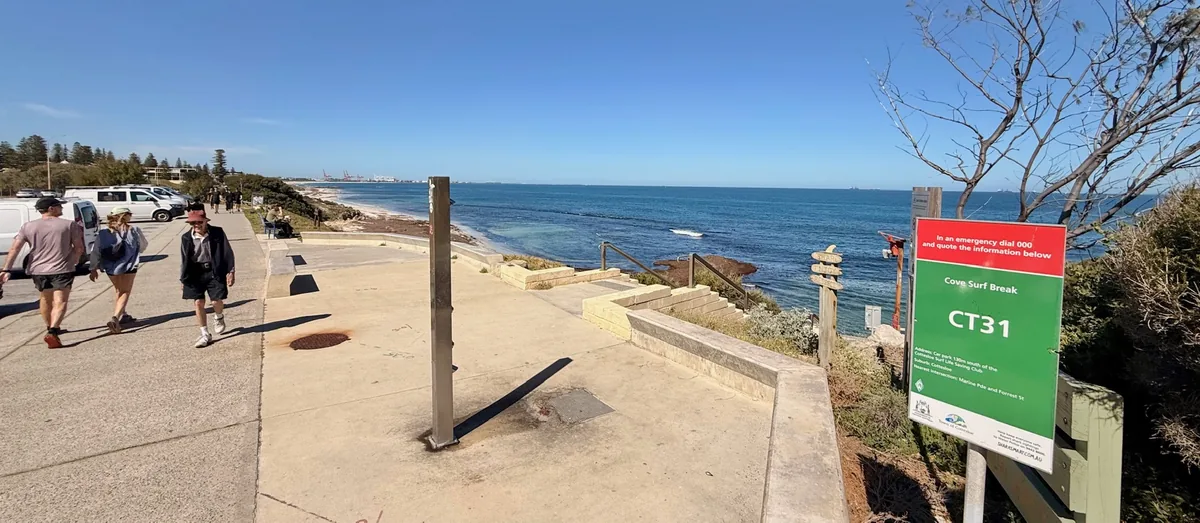
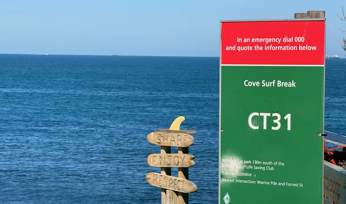
Approach from the public path south of Mudurup Rocks. Look into the small bay immediately south of the main groyne, rather than farther along South Cottesloe.
The Cove sits immediately south of the Cottesloe Groyne, where limestone reef changes the shape and energy of the shoreline. Surfers know it as a mellow right-hand reef break, with Seconds nearby offering a faster, hollower left when the swell is up. Local board riders have surfed these breaks since at least the 1960s, giving this little pocket a long history in Cott surf culture.
The reef is part of the wider Cottesloe Reef Fish Habitat Protection Area, a limestone system of shelves, eroded outcrops and pinnacles extending well offshore. On a calm, clear day you may see reef, seagrass and marine life through the water, but conditions can change quickly and parts of the reef are shallow, so this is not the place to assume the word “Cove” means easy swimming.
Keep to the paths around Mudurup and through the restored coastal plantings, and stay off the unstable limestone outcrops. A Shark Warning System is installed at The Cove, and you can also check current alerts on SharkSmart before entering the water.
Town of Cottesloe - Cottesloe Reef Fish Habitat Protection Area
Town of Cottesloe - Beaches and Shark Safety
Surfing Down South - The Cove Cottesloe
The map marker follows the published surf-map position. It is an orientation point, not a surveyed reef centre or a safe water-entry or navigation target.
Mondo - The Cove surf-map location